GIS Applications for Local Agencies
CALTAP is piloting a series of virtual geographic information systems (GIS) training courses that will introduce non-technical practitioners to the basic concepts, tools, and applications needed to create useful, informative, and data-rich online maps.
Today, GIS technology allows for the creation of engaging, informative, data-driven maps and narrative-driven visuals (StoryMaps). While most state and local agencies are already using GIS for planning, maintenance, engineering, and asset management (and many other applications), these courses offer a skill path for "non-GIS" professionals to learn how this technology is being used within transportation agencies as well as how the availability of license-free geotagged datasets can be used to build visual narratives that are capable of conveying complex data/geographic relationships to a non-technial audience.
Both introductory and advanced courses are four-hour lecture/lab presentations delivered live and online by our in-house GIS expert.
The Introductory Course Includes
- An Overview of GIS Basics
- GIS Applications at LPAs/DOTs
- Guided Hands-On Learning Activities
- Create Your Own Shareable GIS StoryMap
- A Personalized Teaching Environment
- No prior experience necessary
- No software necessary
This Program is Ideal For
- Anyone involved in the public sector looking to get started learning GIS for any application including planning, maintenance, surveying, engineering, etc. (no experience or software necessary).
- Anyone looking for an exciting career skill that can be used to create informative maps and visuals that better engage stakeholders and constituents.
- Anyone working with GIS team members or departments who could improve collaboration with a better understanding of the technology.
Features & Benefits
- Easily digestible curriculum on basic, introductory GIS concepts
- Hands-on learning: leave class with your own GIS StoryMap
- Curriculum designed and presented by GIS experts
- Networking opportunities with industry leaders
- Interactive virtual learning environment
Course Learning Outcomes
- Basic GIS concepts and examples
- How to make your own basic web map product
- What GIS platforms are accessible to start using easily
- What types of GIS data are freely accessible
- GIS data collection methods
* Participants are encouraged to bring their own dataset if available;
CSV, GeoJSON, and KML file types are support
New to GIS?
"Geographic Information Systems" can be thought of as a set of computer-based tools and technologies that allow you to create, manage, analyze, and map all types of data within a specific geospatial framework.
By integrating a set of datapoints (where something is located) with descriptive detail (what it is, what's happening around it) into a mapping system, GIS applications can be used to present patterns and relationships that are occurring within a geographic context in a way that is easier to comprehend.
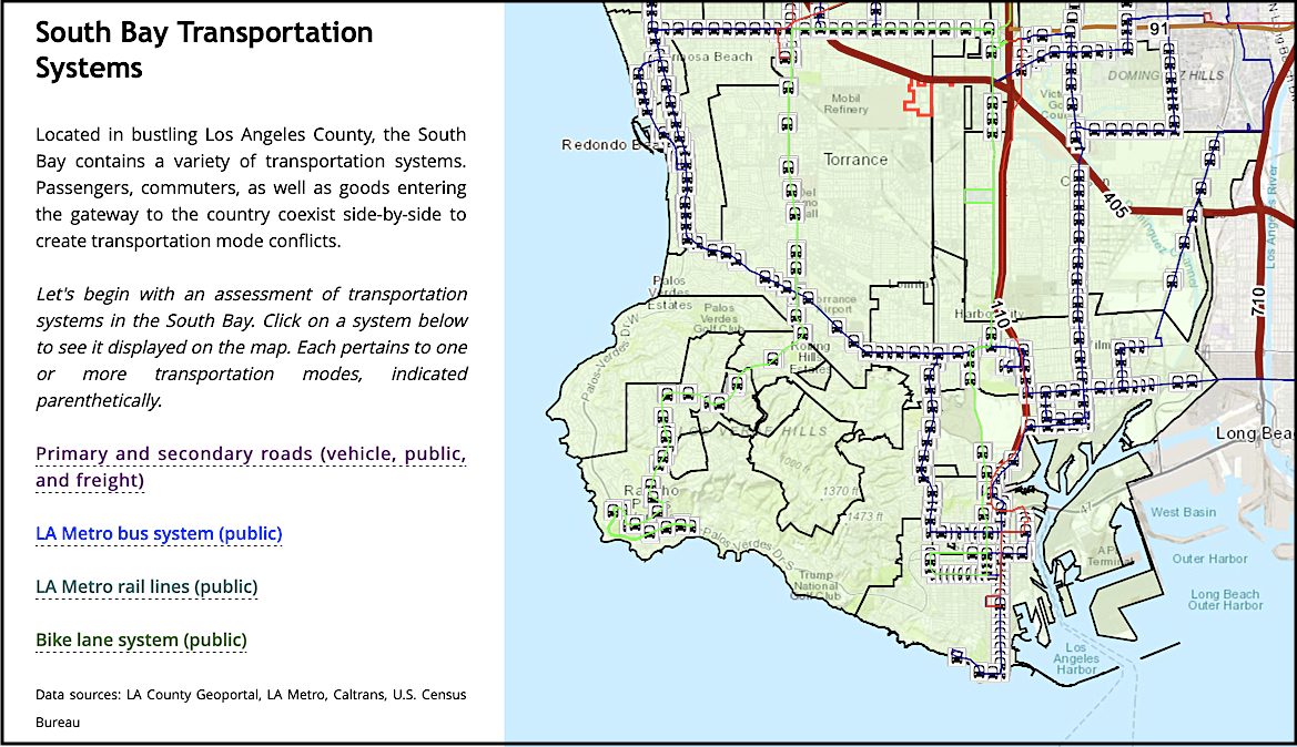
Visualizing Geospatial Data
Esri, the global market leader in GIS, has brought innovation to digital storytelling through the concept of "StoryMaps", a construct that allows remarkable data-rich stories to be told via custom maps that inform and inspire by combining features like embedded text, images, videos, and other online content.
StoryMaps can now be developed using license-free, web-based GIS tools.