What is GIS? 2.0
WEBINAR: July 8, 2026, 8:00AM - 9:00AM PT
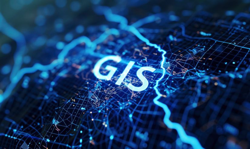
The free webinar What is GIS? 2.0 provides a comprehensive introduction to geospatial information systems (GIS), exploring fundamental concepts, spatial data sources, and software tools applicable across various research fields.
GIS allows for the visualization, analysis, and understanding of spatial data, which can be applied across numerous disciplines. Whether assessing the spatial distribution of species in ecology or evaluating urban growth patterns, GIS provides the tools needed to analyze geographic relationships and trends.
Designed specifically for Ph.D. students, academics, and professional researchers, this seminar offers a concise yet comprehensive introduction to GIS, making it a crucial resource for those looking to enhance their research capabilities.
Learning Objectives:
- Gain a better understanding of GIS & their applications
- Improve research skills through spatial analysis, data visualization, & GIS tools
- How to incorporate spatial dimensions into academic work
Instructor:
- Nick Bearman, Ph.D., GIS Trainer & Consultant
The Instructor
Dr. Nick Bearman is an accomplished geospatial expert whose work spans a diverse array of projects, with a particular passion for helping others develop their GIS skills through tailored training solutions.
He holds a master's degree in GIS from the University of Leicester and a Ph.D. in GIS from the University of East Anglia.
