GIS Applications for Local Public Agencies
WEBINAR: January 17, 2023, 10:00AM - 11:00AM PT [CLOSED]
Would you like a better understanding of GIS and how it can be used to build and present easy to understand, narrative-rich maps to your agency or public partners?
CALTAP invites you to join us for a one hour look at the uses and benefits of GIS tools and applications and they can be used to convey work you may already be doing in a more compelling, descriptive way.
This webinar will present an overview of GIS fundamentals, tools, resources, and presentation approaches to help professionals with no formal GIS training to dive-in and start using GIS tools and datasets to present complex information in a visually engaging and compelling way.
Discussion topics will include:
- An overview of GIS fundamentals
- Overcoming barriers to using GIS at work
- Access & availability of license-free, web-based tools
- How understanding GIS can make you a better consulting partner
- The benefits of using GIS StoryMaps to visually present complex data while also reaching out to a broader, non-technical audience
- How to do interactive mapping, even if you don’t think you can …
Hear perspective, approaches, and real solutions from our expert panelists:
- Terry Bills, Global Transportation Industry Director, Esri
- Sean Reseigh, Senior Engineer & Planner, Fehr & Peers
- Riley Keller, Senior Transportation Planner, Caltrans
- Ben Olson, GIS Manager, Center for International Trade & Transportation
*** Miss the webinar? You can view it here on our YouTube site!
This Event is Closed
New to GIS?
"Geographic Information Systems" can be thought of as a set of computer-based tools and technologies that allow you to create, manage, analyze, and map all types of data within a specific geospatial framework.
By integrating a set of datapoints (where something is located) with rich descriptive details (what that something is, what is happening around it, etc.) into a mapping system, GIS applications can be used to present patterns and relationships that are occurring within a geographic context in a way that is easier to comprehend.
Visualizing Geospatial Data
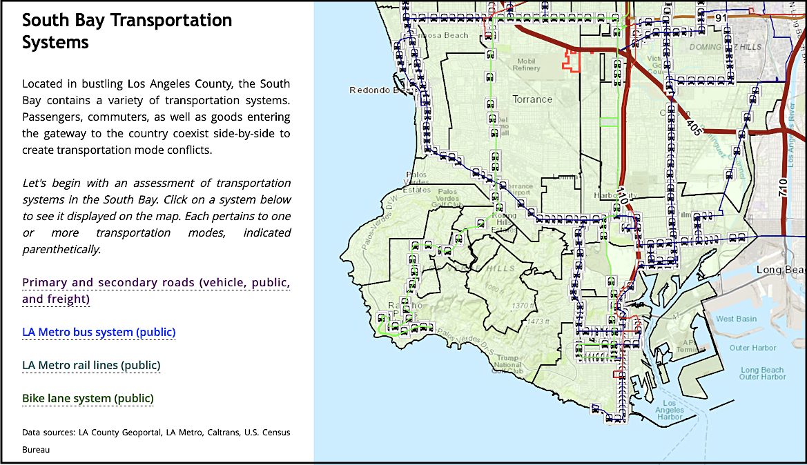
Esri, the global market leader in GIS, has brought innovation to digital storytelling through the concept of "StoryMaps", a construct that allows remarkable data-rich stories to be told using custom maps that inform and inspire by combining features like embedded text, images, videos, and other online content.
StoryMaps can now be developed using license-free, web-based GIS tools.
