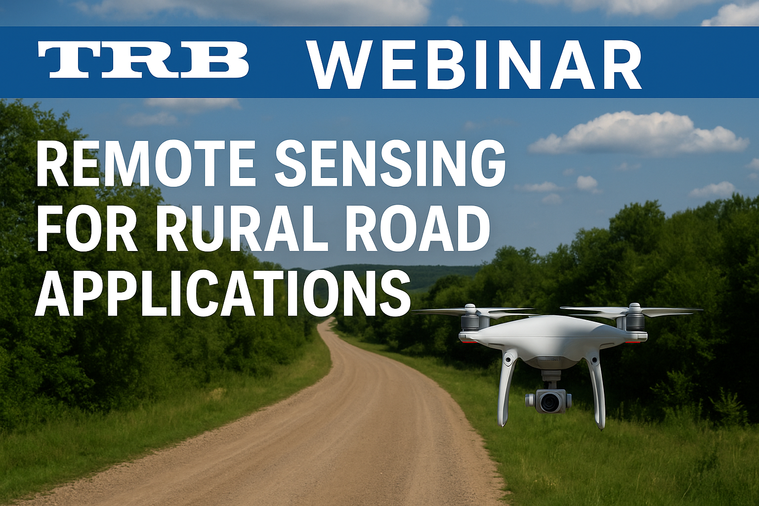
Remote Sensing & Drone Tools for Rural Road Resilience
WEBINAR: July 29, 2025, 8:00AM - 9:30AM PT [CLOSED]
The Transportation Research Board (TRB) is hosting a 90-minute webinar that explores how remote sensing technologies can assist with road location, design, and condition assessments, particularly in remote and developing regions.
Low-volume roads (LVR) in rural areas are especially vulnerable to damage from increasingly intense storms. Rapidly assessing road conditions after severe weather events, designing them effectively, and managing them with accurate information can significantly improve their resilience and reduce life-cycle costs.
Presenters will share how high-resolution imagery and digital elevation models from remote sensing can support resilient road maintenance, drainage design, and storm damage repairs.
Webinar Agenda:
- Remote Sensing & Satellite Data for Rural Road Design
- Remote Sensing for Condition Assessment & Asset Management of LVRs
- Q&A Session
Learning Objectives:
- Locate & identify remote sensing data relevant to rural LVR design & maintenance
- Apply drone technology to assess road conditions & identify maintenance needs
- Use digital tools to develop elevation models & determine drainage solutions
Complimentary registration is available for employees of TRB sponsors, standing technical committee chairs, involved CRP panel members, tribal government employees, media, congressional staff, & TRB or National Academies staff.
Register to attend this important webinar
This Event is Closed
About TRB
The Transportation Research Board (TRB) is a non-profit organization that focuses on providing research-based solutions to improve transportation by mobilizing expertise, experience, and knowledge to anticipate and solve transportation-related challenges.
